
Paraná-Paraguay Waterway: 2026 Concession, Deepening and Trade
The Hidrovía links five South American countries to Atlantic-facing trade routes. Argentina’s 2026 Vía Navegable Troncal concession now shifts the business question from tendering to execution: dredging, planned deepening, navigation technology, costs and reliability.
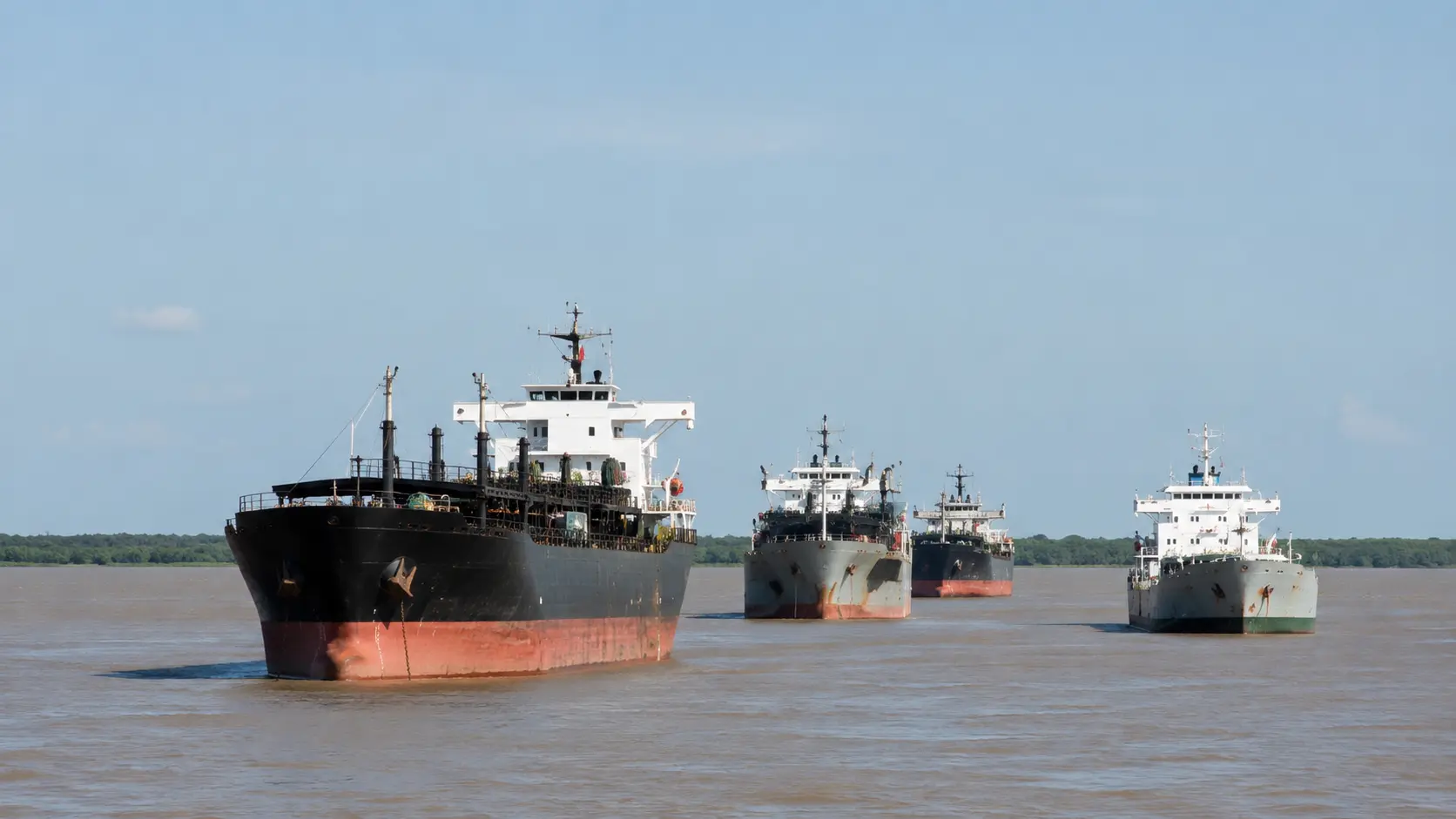
The Paraná–Paraguay Waterway is a regional logistics system; Argentina’s Vía Navegable Troncal is one critical downstream section of it.
The international Hidrovía framework connects Argentina, Bolivia, Brazil, Paraguay and Uruguay between Puerto Cáceres and Nueva Palmira. In Argentina, the 25-year Vía Navegable Troncal concession moved from award to contract execution in July 2026.
For companies, the relevant variables are not only nominal channel depth but usable draft, maintenance performance, river levels, terminal access, tolls, barge and ocean-vessel interfaces, and the sequencing of the planned deepening program.
The later-stage Paraná target is 40 feet (12.2 metres) of channel depth, not 40 feet of vessel draft. ANPYN has described that configuration as roughly 38 feet (11.6 metres) of navigable draft after clearance. Econosur examines the commercial consequences separately in How a Deeper Paraná River Could Reshape Mercosur Trade.
The Paraná–Paraguay Waterway is the central river-corridor case within Econosur’s Logistics and Waterways analysis. It links inland production, barge transport, port capacity, export timing and Atlantic access across the Southern Cone.
For Argentina, the route is closely tied to Rosario and the Up-River export complex. Paraguay depends on it as a large-volume outlet to world markets. Brazil and Bolivia feed cargo into the wider system, while Uruguay provides the downstream Nueva Palmira gateway named in the international Hidrovía agreement.
Market reading: the 2026 concession changes the analytical focus. The central question is no longer who wins the Argentine tender, but whether the new operator converts the contract into measurable gains in usable draft, maintenance, navigation reliability and cargo economics — and how those gains are distributed across the wider Mercosur logistics system.
The deeper Paraná redistributes logistics economics within Mercosur
I read the Paraná deepening primarily as a redistribution of logistics economics rather than as a dredging story. Gran Rosario is the obvious first beneficiary if ocean-going vessels can load more cargo upstream. The more important commercial question is what happens after that.
If a vessel can avoid or reduce completion loading at Bahía Blanca, Quequén, Nueva Palmira or another downstream port, the economics of the entire voyage change. Paraguay adds another layer: a landlocked economy can see part of its international logistics cost altered by infrastructure and tariffs farther downstream in Argentina.
The value of the concession therefore cannot be read from the headline depth alone. Usable draft, vessel class, tolls, hydrology, maintenance performance, waiting time and downstream port choices determine who captures the benefit and where traffic is redistributed.
September 2026 status: award and contract are confirmed; operational takeover must be verified
Argentina completed the award of the Vía Navegable Troncal concession through Resolution 36/2026 in June 2026 and signed the concession contract with the Jan De Nul–Servimagnus consortium in early July.
The consortium created Vía Navegable Argentina S.A. as the specific concession company. The contract covers roughly 1,400 kilometres for 25 years and includes dredging, redredging, signaling, hydrometric monitoring, maintenance, modernization and development works.
The government announced a 13.5% tariff reduction under the new concession. However, Resolution 105/2026 extended the existing international-transport tariff of USD 1.30 per TRN from July 1 until the concessionaire’s effective takeover of the service. This means contract signature and operational takeover are separate milestones. As of this September 6 review, Econosur has not identified an official source confirming the effective takeover act, so the 13.5% reduction is treated as announced concession economics rather than a verified current operating tariff.
Jan De Nul stated that maintenance works were scheduled to begin in August 2026 and that key development phases, including major deepening works, extend toward 2031. On August 7, the government also formalized the Consejo de Control de la Vía Navegable Troncal; Resolution 47/2026 was published on August 10. ANPYN is to present information every two months on navigation conditions, works, maintenance and investment programs, and traffic evolution.
Evidence boundary: the award, contract and governance framework are confirmed. The later-stage target is 40 feet (12.2 metres) of channel depth on the relevant Paraná section, not 40 feet of vessel draft. ANPYN has described this as roughly 38 feet (11.6 metres) of navigable draft after clearance. Neither the target depth nor its commercial benefit should be presented as achieved until completed works and operating data support that conclusion.
In the Southern Cone, market access is often corridor access — but corridor capacity is only valuable when it is reliably usable.
The waterway functions as a regional trade system
The Hidrovía is not identical to Argentina’s Vía Navegable Troncal. The wider international system is framed by the 1992 agreement between Argentina, Bolivia, Brazil, Paraguay and Uruguay, covering the river corridor from Puerto Cáceres to Puerto Nueva Palmira.
Argentina’s newly concessioned trunk waterway is the downstream high-capacity interface through which a large share of Argentine foreign trade reaches ocean shipping. The distinction matters commercially: a disruption or improvement on one segment can affect cargo originating hundreds or thousands of kilometres upstream.
Market analysis point: national demand data alone does not explain access. The commercially relevant unit is often the complete route — origin, inland transport, barge or rail interface, terminal, navigable channel and ocean leg.
Why Paraguay depends on the Hidrovía
Paraguay is one of the clearest examples of structural river dependence. Soy, grains, oilseeds, fuels, fertilizers and industrial inputs rely on ports, barges and downstream navigation to connect a landlocked economy with external markets.
Lower water, draft restrictions, congestion or interruptions downstream can change shipment timing, vessel economics and buyer reliability. The country-specific mechanics are examined in Paraguay’s river economy and Hidrovía system and in the Paraguay soy model. The downstream cost mechanism is examined separately in Econosur’s analysis of a deeper Paraná River and Mercosur trade.
Rosario and Argentina’s Up-River export infrastructure
Rosario and the surrounding Up-River corridor form one of the world’s major agro-export concentrations. The Bolsa de Comercio de Rosario identifies 30 port terminals along roughly 70 kilometres between Timbúes and Arroyo Seco, including 18 agroindustrial terminals and 12 terminals handling fertilizers, petroleum, petrochemicals and general cargo.
The latest full-year data show the scale more clearly. In 2025 Gran Rosario shipped 75.7 million tonnes of grains, oils and agricultural by-products, placing it ahead of New Orleans at 74.8 million tonnes and Santos at 60 million tonnes as the world’s leading agro-export port node that year.
That concentration explains why deeper and more predictable navigation can have effects beyond dredging itself. Greater usable draft can improve vessel loading economics and reduce completion loading for some vessel classes, while reliable maintenance and navigation information can reduce uncertainty around sailing windows and terminal planning. For the vessel and downstream-port mechanism, see How a Deeper Paraná River Could Reshape Mercosur Trade.
The same concentration creates exposure: if river conditions or channel works constrain the Up-River system, a large block of processing and export capacity is affected simultaneously.
How Bolivia connects to the wider Hidrovía
Bolivia reaches the Paraguay River system through eastern infrastructure around the Canal Tamengo, Puerto Quijarro and Puerto Aguirre. This provides an Atlantic-facing alternative to road and rail corridors directed toward Pacific ports.
For commercial route analysis, the river option should be compared with the Central and Capricorn bioceanic corridors, rather than evaluated as a stand-alone water route.
Uruguay and the downstream Atlantic gateway
Uruguay is part of the formal Hidrovía agreement and Puerto Nueva Palmira is the downstream endpoint named in that framework. This makes Uruguay part of the corridor architecture, not an external add-on to an Argentina–Paraguay system.
The country’s role can be read alongside Econosur’s Uruguay export map and pulp-sector analysis, where ports and export routes are central to the business model. Deeper loading at Gran Rosario could also change the economics of completion and transshipment farther downstream, including at Nueva Palmira; that relationship is examined in Econosur’s deeper-Paraná analysis.
Soy, fertilizers, fuels, pulp and industrial inputs
Agribusiness remains the most visible flow, but the corridor also matters for fuels, fertilizer imports, minerals, machinery, industrial inputs and potential forestry/pulp volumes. The commercial question is whether each cargo can move at the required volume, cost and timing — not merely whether demand exists.
For example, Paracel illustrates how a large Paraguayan industrial project can depend on river logistics for both inputs and future export flows. Petropar illustrates the strategic relevance of fuel flows within Paraguay’s logistics system.
| Flow | Why it matters | What companies should verify |
|---|---|---|
| Soy, grains and agroindustry | Large export volumes and concentrated Up-River processing | Usable draft, loading windows, terminal access, ocean-vessel economics |
| Fertilizers and fuels | Critical upstream inputs with import and distribution dependencies | Terminal capacity, storage, seasonal demand, barge and truck interfaces |
| Pulp, minerals and industrial cargo | Can add new non-grain volumes and change route demand | Project timing, cargo specification, dedicated handling and downstream capacity |
| Machinery and industrial inputs | Lower-volume cargo can still be time-sensitive and route-dependent | Modal handovers, customs, terminal services and final-mile logistics |
The Hidrovía as physical regional integration
The corridor demonstrates the difference between formal regional integration and physical integration. Trade agreements can lower institutional barriers, but competitiveness still depends on ports, channels, terminals and inland connections that actually move goods.
Alternative corridors therefore matter. Paraguay’s bioceanic corridor readiness and Bolivia’s east–west corridors can complement the river system, diversify access or compete for specific cargo depending on origin, destination and cost.
Execution risk replaces tender uncertainty
The concession is no longer an unresolved procurement question. The new risk is execution: how quickly maintenance performance changes, when development works become operationally relevant, whether the expected depth gains are delivered, and how traffic adapts during phased works.
Environmental permitting, navigation safety, hydrometric monitoring, signaling, traffic growth and terminal investment all interact with dredging. A nominal target depth by itself is therefore an incomplete measure of corridor reliability.
September 2026 hydrology: Rosario remains around the low-medium / medium boundary
The Instituto Nacional del Agua’s daily report updated September 4, 2026 placed Rosario at 2.55 metres and classified the Santa Fe/Paraná–Rosario section around the boundary between low-medium and medium-water conditions. INA described the stretch as oscillating with a slight decline, but expected the fall to attenuate and stabilize in the short term.
For the extended outlook, INA expected the weekly mean to recover toward medium-water conditions as upstream inflows improve. This is not an acute low-water crisis at Rosario, but it reinforces the distinction between structural channel improvements and the hydrology available on a given day.
Business implication: deepening can increase operating margin and reduce the frequency with which ordinary water-level variation constrains cargo, but it cannot eliminate drought or basin-level hydrological risk. Route planning should therefore separate designed channel depth, current river level and the navigable draft actually available to a vessel.
Companies and market actors behind the corridor
The names below illustrate different functions in the system. They are cited as market actors, not as clients or partners of Econosur.
Specific concession company created by the Jan De Nul–Servimagnus consortium for the new Argentine Vía Navegable Troncal contract.
The winning consortium behind dredging, redredging, signaling, maintenance, hydrometric monitoring and development works under the 25-year concession.
ANPYN remains the application and control authority. The new consultative council adds bimonthly monitoring of navigation, works, investment, maintenance and traffic.
Examples identified by the Bolsa de Comercio de Rosario within the Up-River terminal ecosystem that converts river access into processing and export capacity.
A large planned pulp project whose commercial logistics case illustrates how new industrial volumes can depend on the Hidrovía and downstream port performance.
State energy company relevant to fuel flows, storage and distribution in a country where river logistics remain structurally important.
Need to know what the Hidrovía means for your company?
Public sources can show the concession, planned works, river levels and major terminals. They rarely show the route-specific freight effect, buyer requirements, supplier position, operational switching costs or whether a specific commercial assumption is workable.
Discuss a custom analysisFrequently asked questions
What is the Paraná-Paraguay Waterway?
The Paraná-Paraguay Waterway is the regional river-navigation system linking production and ports from the upper Paraguay-Paraná basin to downstream Atlantic-facing gateways. The international framework covers Argentina, Bolivia, Brazil, Paraguay and Uruguay.
What changed on Argentina’s Vía Navegable Troncal in 2026?
Argentina awarded the 25-year concession in June 2026 and signed the concession contract in early July. The government announced a 13.5% tariff reduction under the new concession, while Resolution 105/2026 extended the previous USD 1.30/TRN tariff until the concessionaire’s effective takeover of the service. The implementation program covers dredging, deepening, signaling and navigation technology.
Who operates the Argentine Vía Navegable Troncal?
The Jan De Nul–Servimagnus consortium created Vía Navegable Argentina S.A. as the specific concession company. ANPYN remains the public application and control authority.
Is the waterway already operating at 40 feet?
No. The later-stage target is 40 feet (12.2 metres) of channel depth on the relevant Paraná section, not 40 feet of vessel draft. ANPYN has described that as roughly 38 feet (11.6 metres) of navigable draft after under-keel clearance. The target is not a completed operating condition and still depends on delivered works, hydrology and navigation conditions.
How could a deeper Paraná River change Mercosur trade?
Deeper and reliably maintained navigation could allow some ocean-going vessels to load more cargo at Gran Rosario, reduce completion loading at downstream ports and change freight economics across Argentina, Paraguay and Uruguay. The realized effect depends on usable draft, vessel class, tolls, hydrology, maintenance performance and downstream port choices.
Which countries are part of the Hidrovía framework?
Argentina, Bolivia, Brazil, Paraguay and Uruguay are parties to the international Hidrovía Paraguay-Paraná agreement, which runs from Puerto Cáceres to Puerto Nueva Palmira.
How does low water affect trade?
Lower river levels can reduce usable draft and cargo per vessel or barge, increase rotations and delays, and raise logistics costs. Deepening can improve operating margin but does not remove hydrological risk.

Market Analyst & International B2B Consultant · Founder of Econosur. Marcus A. Volz focuses on South American market structures, infrastructure, trade corridors, procurement conditions and company-level commercial implications.
About this analysis
This page was reviewed and updated through September 6, 2026. It distinguishes the five-country Paraná–Paraguay Hidrovía from Argentina’s narrower Vía Navegable Troncal concession and separates channel depth from navigable vessel draft.
Confirmed public facts include the 2026 award, early-July contract signature, concession company, August control framework and Resolution 105/2026 extending the previous tariff until effective service takeover. The government-announced 13.5% reduction is therefore treated separately from a verified current operating tariff. Planned 40-foot (12.2-metre) channel depth is treated as an implementation objective rather than an achieved operating condition, while current river conditions are identified separately using INA reporting updated September 4.
As a Research Case, the page follows the shift from tender uncertainty to execution: what the concession commits to, what has actually been delivered and which commercial implications still depend on operating evidence. The Econosur perspective is that deeper navigation redistributes logistics economics across Mercosur, but the realized benefit depends on usable draft, vessel class, tariffs, hydrology, maintenance and downstream port choices. Public sources can describe infrastructure and regulation; company-specific route economics, procurement status, supplier positioning, buyer requirements and commercial feasibility often require separate validation.